top of page
Explore our services and get in touch
Our Services
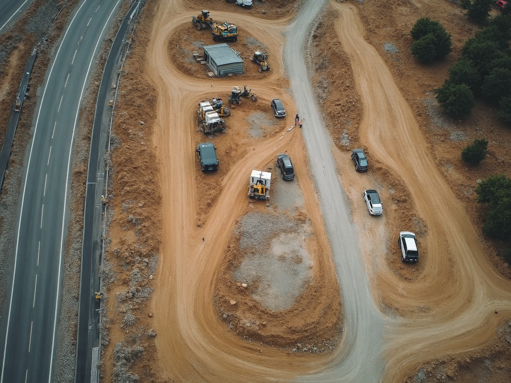 01.
Site Analysis
Monitor progress with precise aerial data. We capture current site conditions and provide clear imagery and reports to support planning, progress tracking, and decision-making.
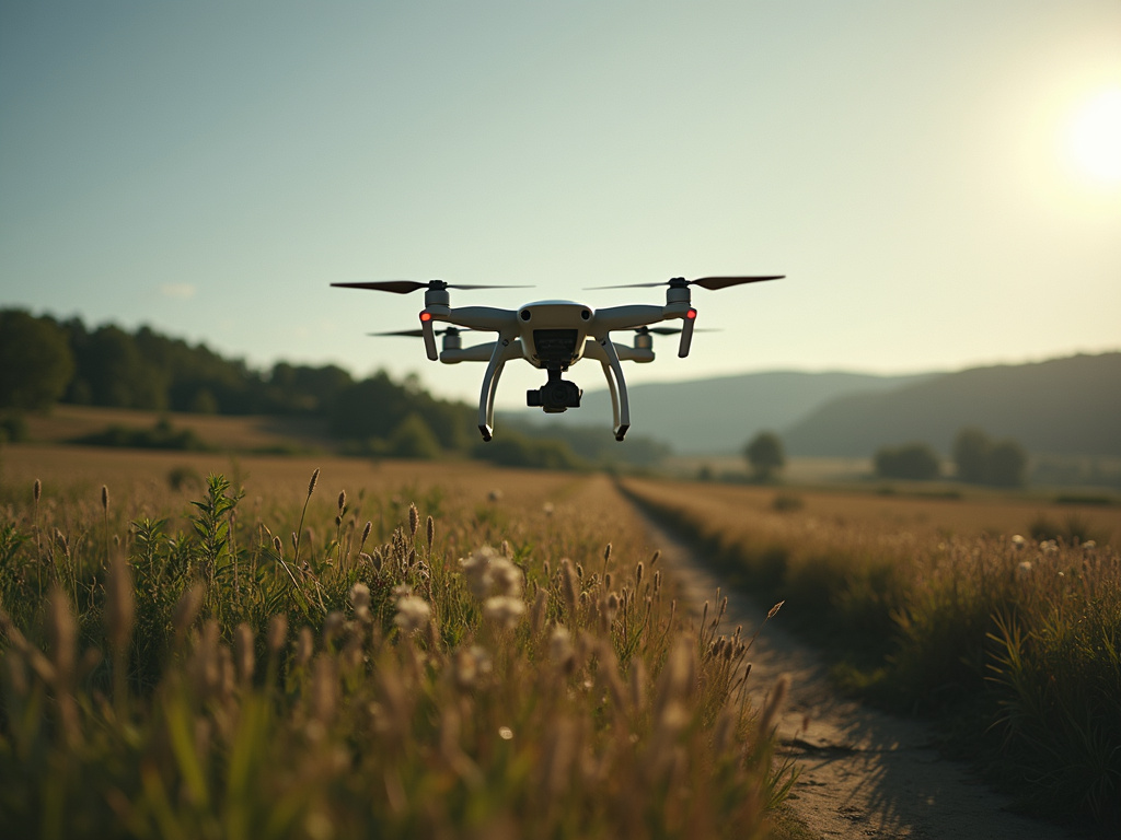 02.
3D Modelling
Accurate 3D models created from aerial imagery. Ideal for site planning, measurements, progress visualization, and presenting a clear digital view of your property or project.
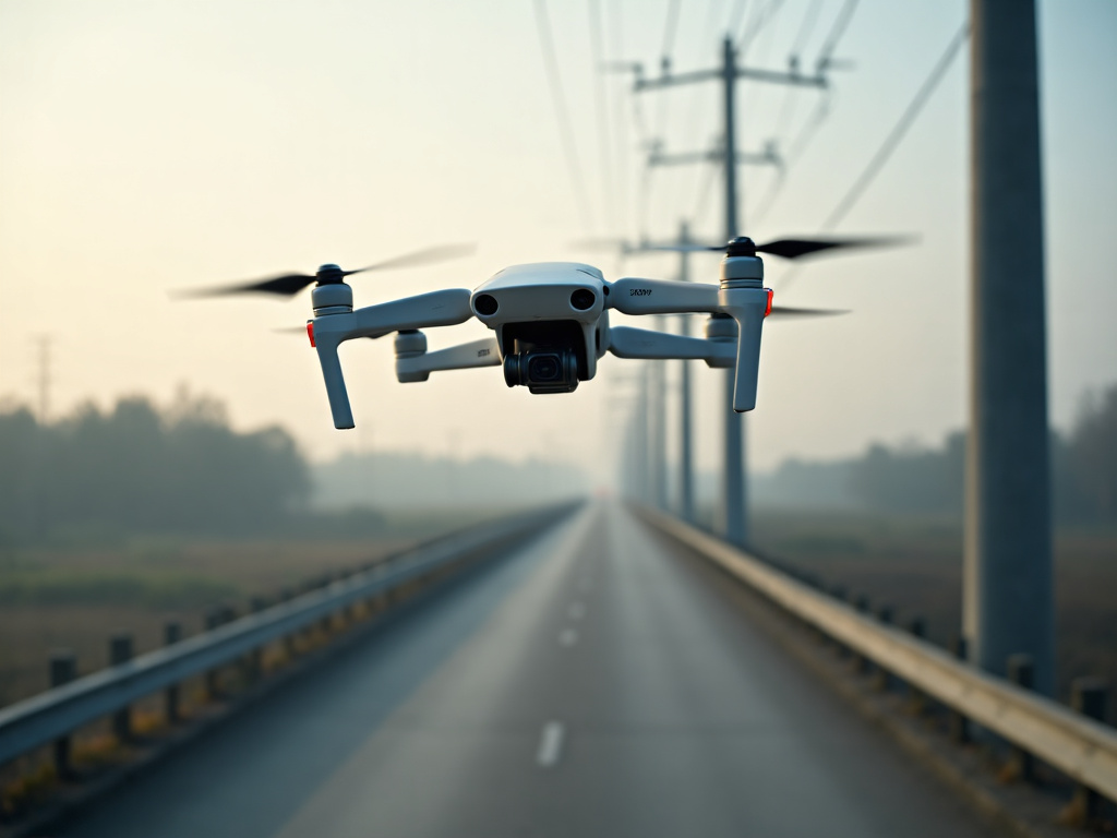 03.
Drone Mapping
Detailed aerial maps and site data for new builds, land planning, construction, and project documentation. We tailor the final deliverables to your location and goals.
bottom of page